Discover the power of our 3D GIS consulting services

Due to the increasing complexity of spatial issues and trends such as Digital Twins, people are increasingly choosing to look for the solution in a 3D GIS. With 3D GIS Consultancy we help your organization with complex spatial issues that require a 3D approach.

From our experienced team of 3D specialists we provide you with knowledge and expertise needed for the realization and maintenance of your 3D GIS environment. 

MEET OUR 3D GIS CONSULTING SERVICES

From this service our specialists help your organization to work with three-dimensional data in a GIS. If desired, Tensing takes care of this completely! Tensing's knowledge in the field of 3D GIS is rich, but to name a few examples typical services:

3D GIS data integratie

3D GIS integration

We can enrich your 3D GIS dataset by linking it to other (open) datasets. In most cases we use our FME toolbox. As Tensing is both an Esri and FME partner, we are experts at the intersection of both disciplines.

3D-GIS-data-visualisatie

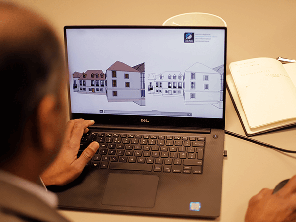
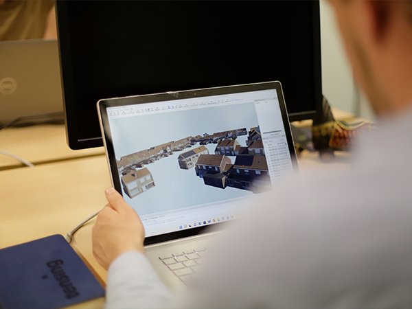
3D GIS data visualization

Visualizing geographic information - that's what the Tensing team excels at. But we also do this in 3D. We visualize your 3D GIS dataset in a 3D environment. For this, we predominantly use the powerful tools of Esri ArcGIS.

3D GIS ontsluiting

3D GIS retrieval

We store your 3D GIS data set in e.g. a central 3D GIS database. From here we can do many things: from performing 3D GIS queries to sharing within an organization. Also consider web enabling, for public data availability.
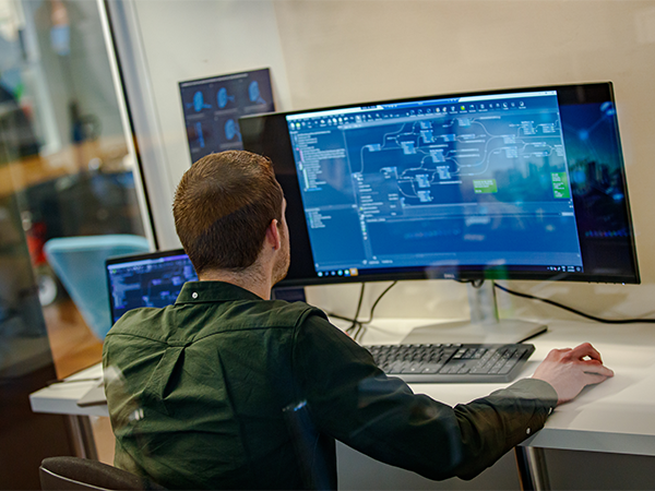
3D GIS analyse

3D GIS analysis

Get all the insights from your 3D GIS dataset and share it with your stakeholders! Think about retrieving specific spatial information from a complex 3D city model. For more inspiration, also read our DITUR case, found on our reference page.
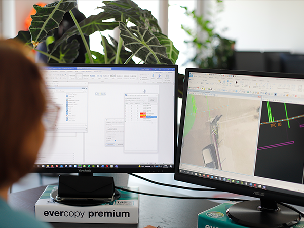
3D-GIS-conversie

3D GIS conversion

Want to convert your 3D GIS dataset to another data format? Our specialists will help you! For example, converting CityGML data (the de facto standard for exchange of 3D city model data) to a format that thrives in the Esri platform. And many more!

THE INTEGRATION BETWEEN BIM AND GIS (GEOBIM)

The development of GIS and Building Information Modeling (BIM) has created two environments that do not naturally understand each other. Yet the combination is very valuable, and as a result, these environments are becoming more and more integrated. GeoBIM is the term that connects the two environments. GeoBIM is an integration resulting from the combination of data and various standards.

Tensing excels within the GIS domain, but also has the necessary knowledge and experience with BIM through collaborations with AEC companies. We have knowledge of various BIM standards (including IFC) and know how to deal with them within a 3D GIS. 

The potential offered by the combination of BIM and GIS has led two major players in the GIS (Esri) and BIM (Autodesk) world to further expand their collaboration with a SaaS solution called ArcGIS GeoBIM. This platform simplifies communication and collaboration between teams and stakeholders. Tensing can further help you set up, set up and use ArcGIS GeoBIM.

An example of a GeoBIM innovation from Tensing is the 3D Geoviewer:


Read more on the 3D GeoViewer innovation at our Tensing Innovation lab

We would be happy to advise you!

Tensing's 3D specialists are happy to meet your data needs. Whether it's solving a complex issue or temporary hiring of knowledge and capacity, Tensing's team is ready for you!