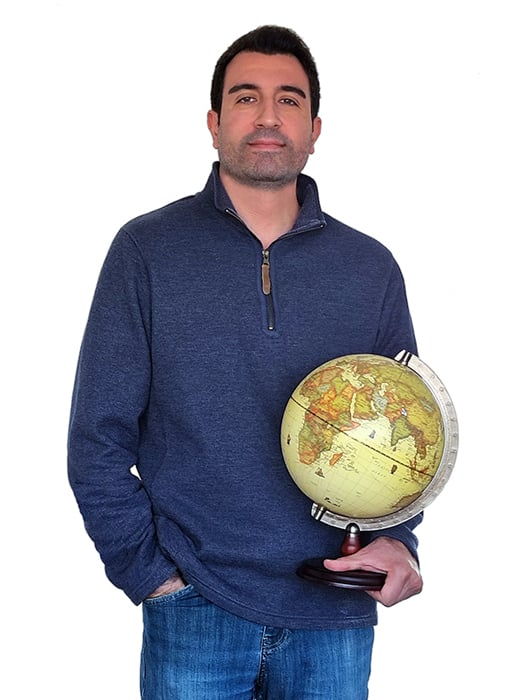
Amir Rabbani
Senior Technical Specialist
As a certified FME Professional with over a decade of experience in GIS and data analytics, Amir is a master of turning complex spatial data into actionable insights.
With proficiency in an array of Spatial Analysis software as well as Automation Platforms and Data Integration tools, such as Esri ArcGIS, FME Desktop, FME Server, MapInfo, Alteryx, SQL, and Tableau, Amir is equipped to handle even the most complex data wrangling challenges.
Since joining Tensing as a FME Technical Specialist in October 2022, Amir has applied his expertise in FME and data analysis to a variety of challenges.
To get the ball rolling what are your top 3 FME transformers?
FeatureReader: Provides the flexibility to bring in new datasets mid-translation, triggered or even configured by previous steps. On top of that, makes it much easier to work with dynamic schemas and workflows.
HTTPCaller: A powerful, no-code way of connecting to complex APIs and web services, which takes the whole data integration concept to the next level.
SpatialRelator: Determining spatial relationships between features and performing spatial joins are core functionalities of any GIS analysis tool, and all of that is achievable using a single transformer in FME.
Which FME transformer have you yet to use but would like to try soon?
OpenAICompletionsConnector: Would be interesting to see some real-world scenarios where we can apply the power and productivity of Generative-AI technology to further enhance or automate data integration tasks.
Tell us a little about some of your highlights from previous roles.
Before joining Tensing, worked as a Data Engineer at MOPAC, responsible for designing, building, and maintaining automated workflows that extract, process, and present data from corporate systems in order to meet specific business requirements. Also dealt with location information, geocoding of data sources, and providing geographic data to the wider organisation. Played a key role in the migration of business-critical GIS systems based on the new electoral boundaries in London.
Prior to that, worked as a GIS Analyst at Network Rail, undertaking various spatial analysis projects within agreed timescales and set requirements. Accountable for the monthly QA and reconcile of all the edits made to the national track centreline model. As part of NR property, responsible for delivering a comprehensive geomatics service to clients via the corporate GIS, CAD, and associated software for inclusion in contracts, legal documentation, and presentations to external bodies.
What has been the most intriguing data-wrangling challenge you have encountered?
I worked on a project to determine any potential deviation of track spacing from design which could possibly lead to serious accidents or derailments. It involved working with massive LiDAR datasets, link-node models, engineering drawings, and complex FME workspaces.
When you aren’t working what do you enjoy…
Travelling, photography, cycling, …
And finally why did you join Tensing
Tensing has a strong history in the field of data and spatial information with a focus on utilising Esri ArcGIS and FME from Safe Software, and that is exactly where my professional interest and experience lies as well.

I joined Tensing because they have a strong history in data and spatial information, which aligns with my professional interests and experience. As a Senior Technical Specialist, I enjoy turning complex spatial data into actionable insights.


.png)
