.png)
Why the 3D GeoViewer?
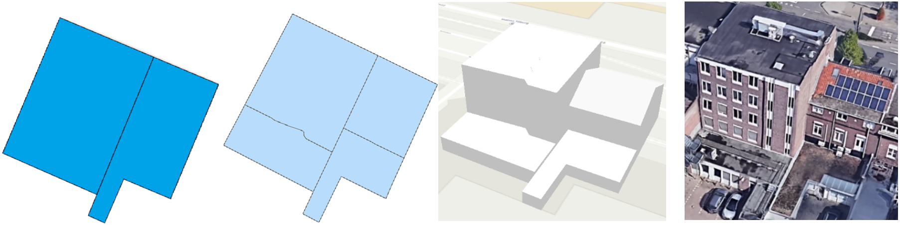
At Tensing, we discovered that architects were seeing the potential of GIS for their designs, but did not yet have a tool with a simple interface. Therefore, we developed the 3D GeoViewer: an innovation as the perfect solution to use data from different datasets, for example, the BAG, the BGT and the Land Registry.
The 3D GeoViewer was ahead of its time and had a high level of detail. It distinguished between roof types and shapes and parts of buildings (LoD2). This is an indispensable aspect in creating a realistic digital twin.
Architects can thus place designs in context and test buildings in different environments. And local residents, urban planners and municipalities also benefit from the "digital testing" that architects can do.
Knowledge Hub