Tensing is supporting GRTgaz in France for the Proof of Concept of the Esri Utility Network.
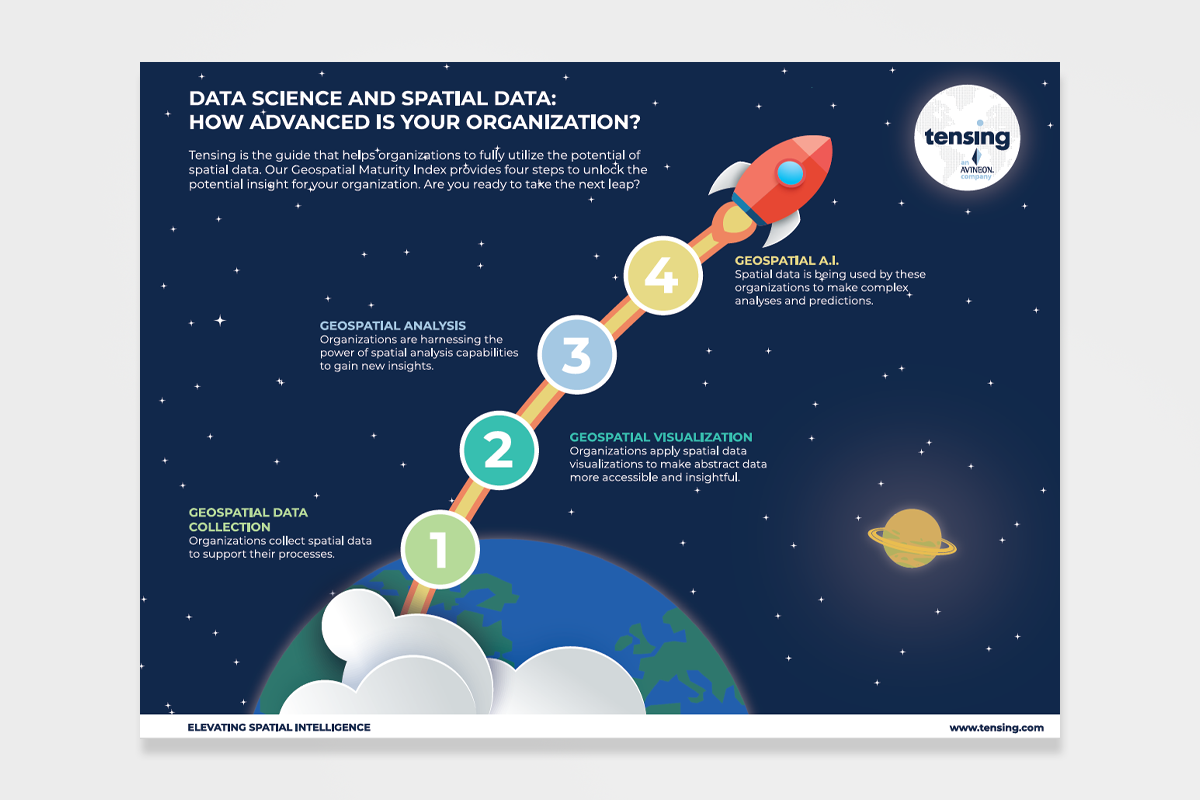
What is Geospatial Intelligence and how can you as an organization become (more) data mature?
Tensing helps Breda Municipality with vegetation monitoring.
We use an existing business case to show our roadmap of the power of GeoAI.
This infographic will explain the Geospatial Maturity Index and show you where your organization is positioned.
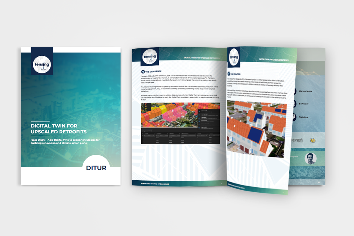
Tensing and Avineon supported DITUR with a 3D Digital Twin to support building renovation and climate plans.
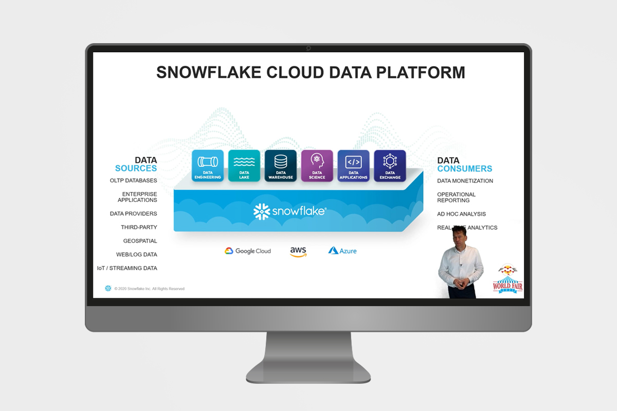
Together with Arjan Hijstek we explain how to use FME to optimize spatial processes of Snowflake.
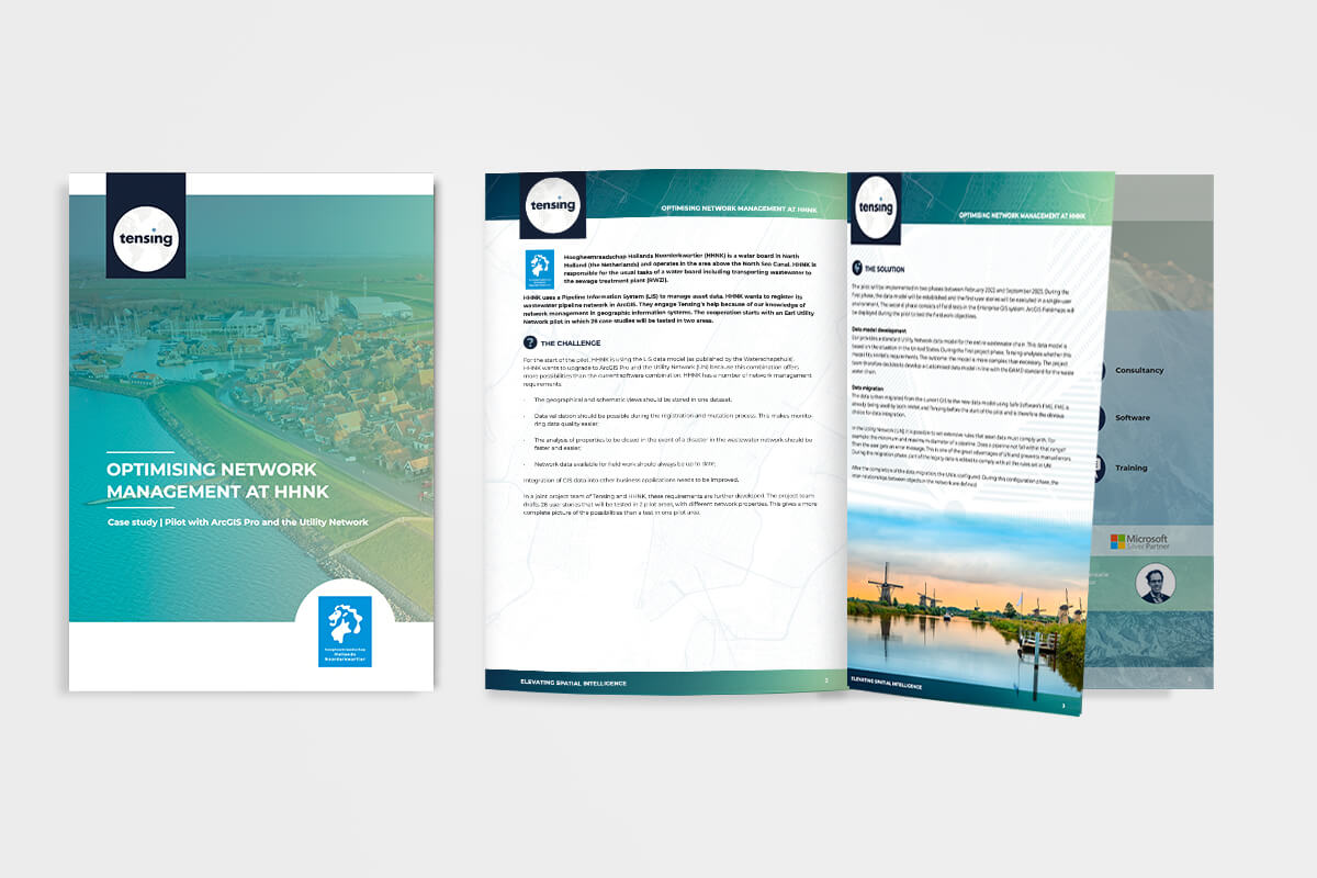
Tensing conducted an Esri Utility Network pilot at water authority HHNK.
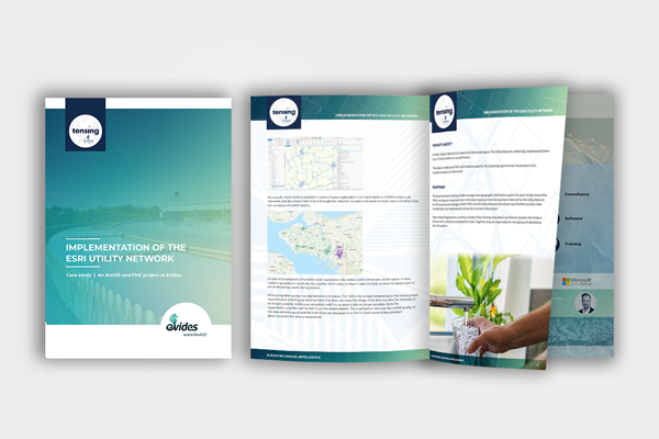
Tensing implemented the Esri Utility Network in Zeeland at Dutch water company Evides.
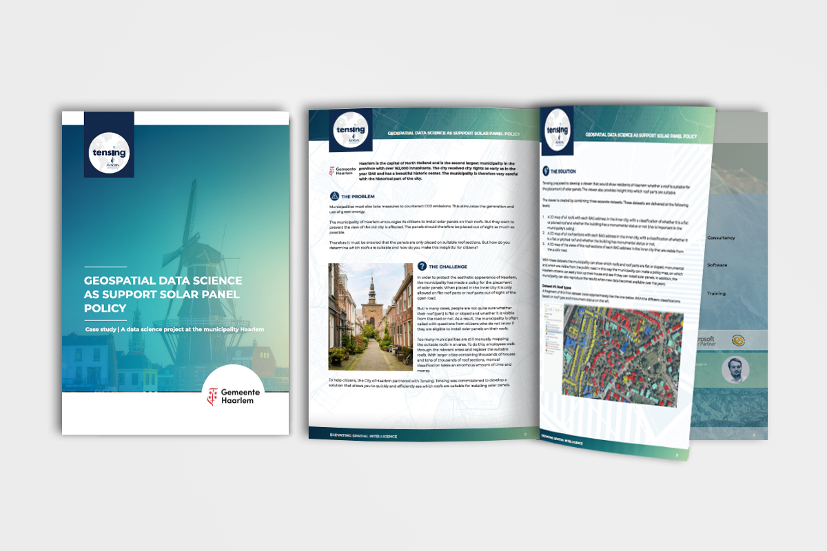
Tensing has supported the municipality of Haarlem in the development of its solar panel policy.
How can you use FME during an Esri Utility Network migration to optimize data integration?
Why Location Intelligence is interesting for the real estate industry? Read it in the white paper.
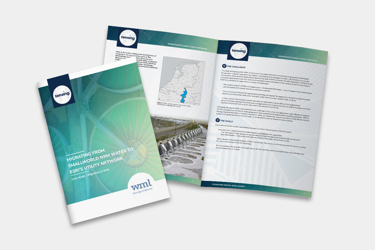
WML is migrating from Smallworld NRM Water to Esri’s Utility Network
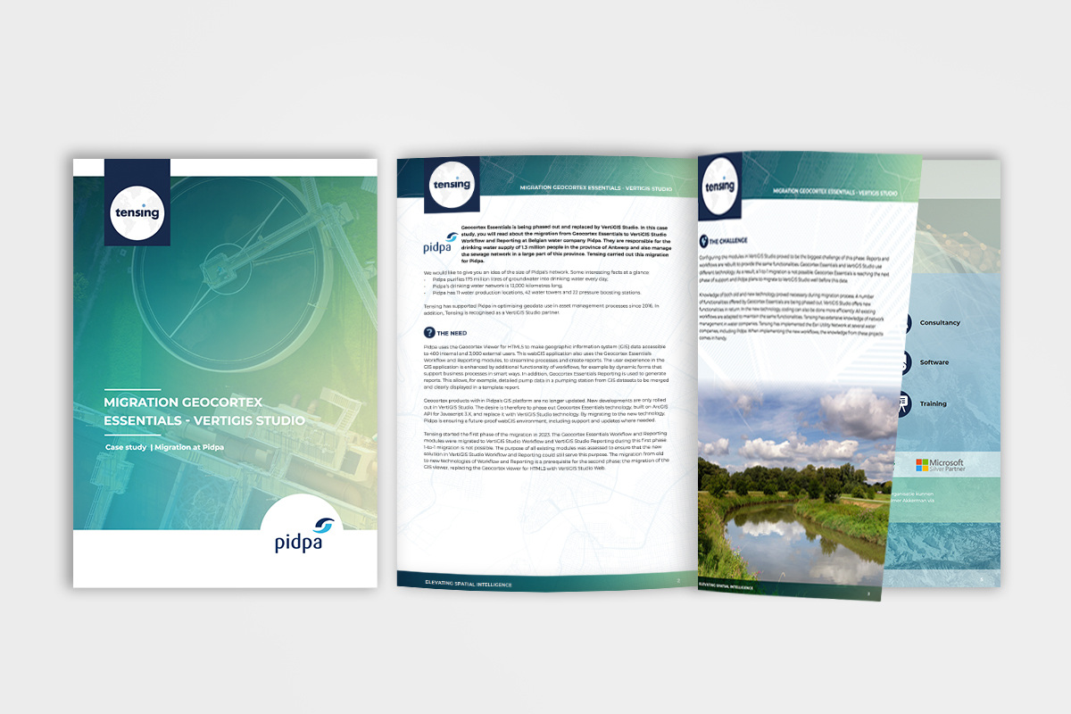
Tensing is helping Pidpa migrate from Geocortex Essentials to VertiGIS Studio.
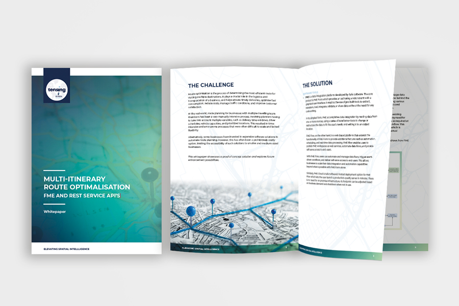
An affordable solution to the labour-intensive and error-prone task of route planning for businesses of all sizes.
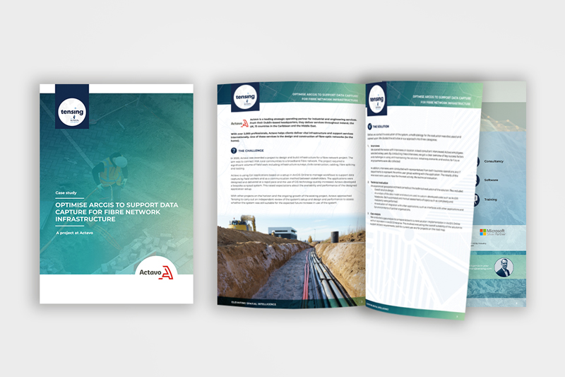
Tensing helped Actavo optimise their ArcGIS environment to support data capture
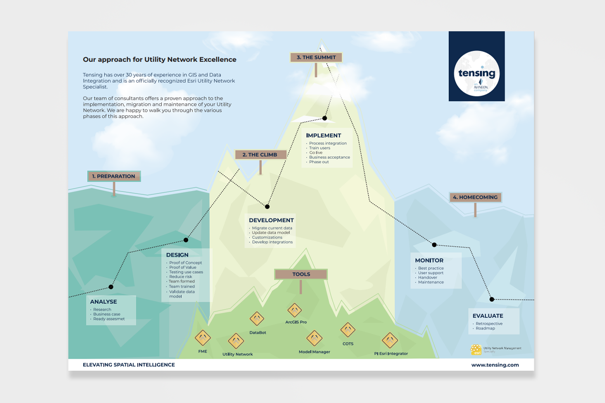
In the infographic we show our approach to implementing, monitoring and maintaining the Esri UN.
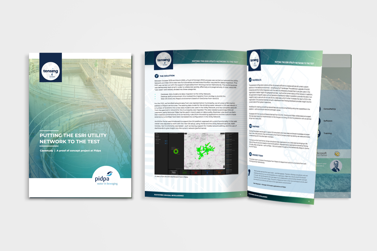
Tensing supports Pidpa in Belgium in a Proof of Concept of the Esri Utility Network.
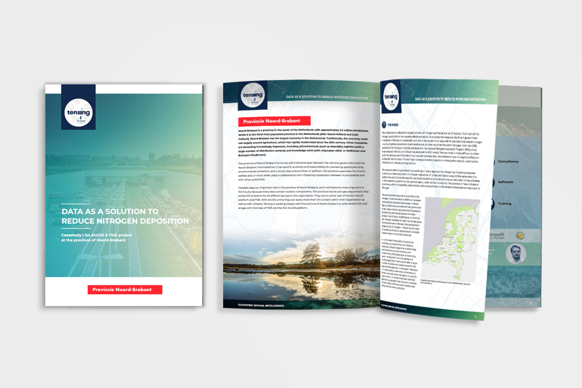
Tensing has helped the Province of North Brabant in the fight against nitrogen in nature reserves.
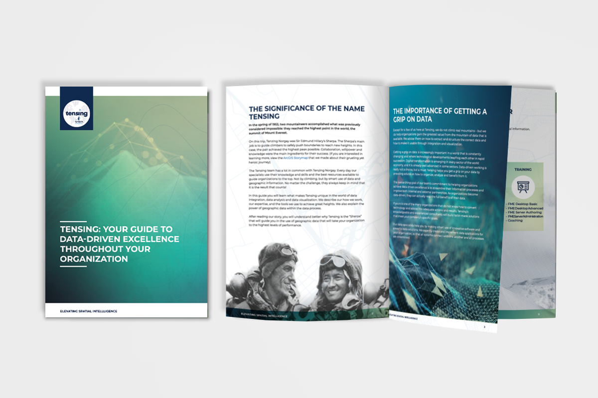
What do we do at Tensing and what can we do for your organization? Read it here.
Inge Hofland, Manager Infra Data at ProRail talks about the use of data and FME at ProRail.
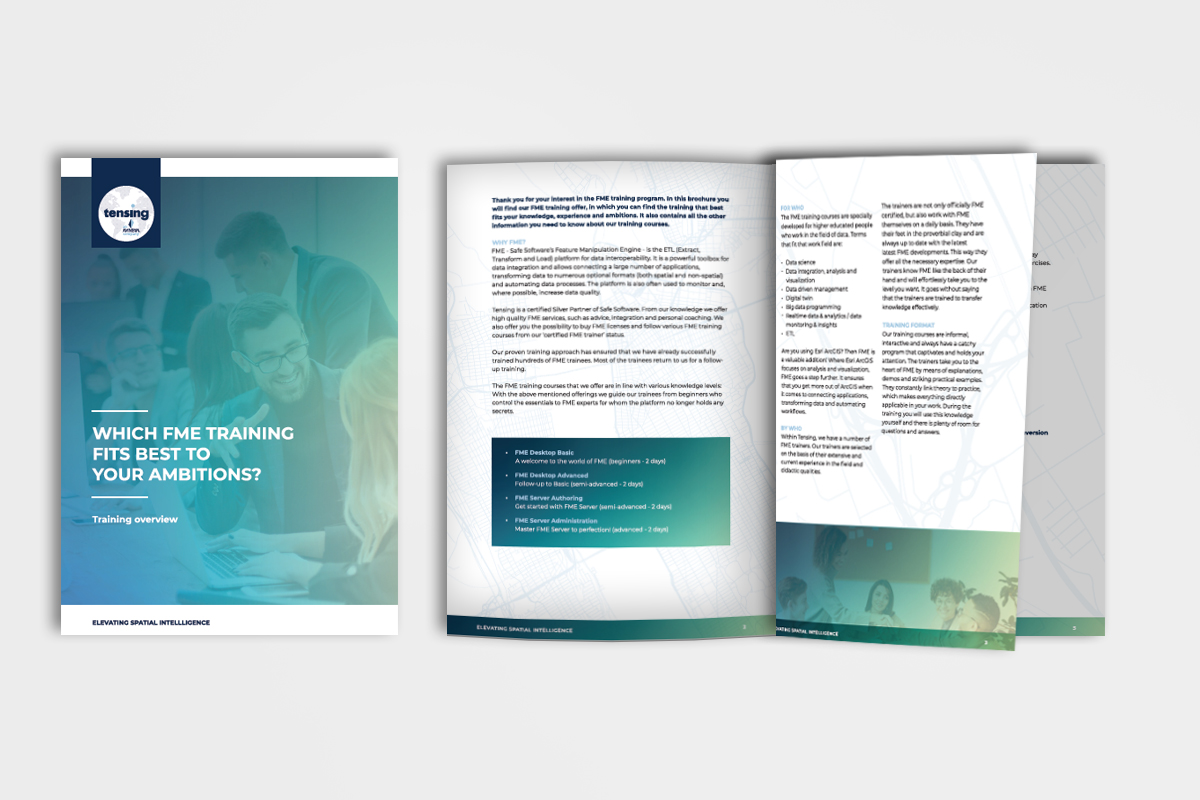
In this brochure you will find information about the content and possibilities of our FME training offerings.


.png)