.png)
Oliver Morris
Business Director
I am the Business Director for Tensing, I have a background in delivery, management, and ETL of geographic data spanning over 15 years. With a passion for utilising cutting-edge technologies and software platforms that automate data administration, provide self-service options, and assist in revealing insightful information.
Why did you join Tensing?
After 15 years of managing and delivering geoscience geospatial datasets, I was looking to work with more diverse datasets and data-wrangling challenges. At Tensing, the digital modernisation brand of Avineon I saw the opportunity to build a team in the UK that can support a wide range of industries with their geospatial data management challenges.
Tensing is an Esri gold partner and Safe Software silver partner, it is great to be supported by these software platforms. It is great to be part of a team with over 70 FME professionals across Europe and many more across the Avineon group in the US, Middle East and India.
What’s your background with Esri and FME?
I have been using Esri technologies since the start of my career, beginning with using ESRI 3.1 modelling groundwater through to ArcPro and AGOL today. I attended an FME World Tour event all the way back in 2011, at the event Don Murray one of the founders of Safe Software presented on XML. I was impressed by how he kept the audience captivated for 45 mins talking about XML in FME and that kicked off my use of FME as my ETL software of choice ever since.
After obtaining my FME Professional certification in 2018, I have more recently obtained my FME Server and Business Professional certification. I am pleased to have supported many of my former colleagues in Halliburton to gain their certification and see them apply their skills across many domains.
Do you have a favourite transformer?
FeatureReader and FeatureWriter would have to be my joint favourites, their flexibility to work with dynamic schemas and used to read and write l data from over 450 formats. The versatility provided by these two transformers, particularly in their flexibility and customisation makes them my firm favourites.
Which FME transformer would you like to use more?
I have built a couple of neat workflows using the OpenAICompletionsConnector, this enables the incredible power and productivity of OpenAI GPT-3 within and FME data integration workflow.
So far I have used this to build a text-to-map geolocation FME Server App which enables you to put some rather obscure requests, for example, ‘create a WKT point location for the really pointy tall building in Tokyo’ the OpenAICompletionsConnector with the power of ChatGPT will return back the location of the Tokyo Tower and FME will display the location in a map view response.
Additionally, we have used it to translate from Dutch to English a database schema ensuring the works contained within the tables are camel case. For example, turning veldlocatie to FieldLocation.
There are many more tasks that I would like to utilise this transformer for, we are just getting started!
Tell us a little about some of your highlights from previous roles.
I led a Technical Solutions team within Halliburton responsible for the delivery of geoscience datasets to oil, gas and mining companies. I was responsible for managing a diverse team and supporting a wider group of geoscience professionals as well as developing integration points with the DecisionSpace suite of software products. Highlights included working with a broad array of geospatial datasets and delivering the data in a range of formats to a broad array of international clients. The self-service data delivery solution we developed built upon FME Cloud revolutionised the way we automated data to our clients, removing manual exporting and ensuring seamless data delivery in a multitude of data formats and projections.
Prior to the acquisition by Halliburton, I worked for Neftex which was a small dynamic geoscience start-up. At Neftex I was more involved in dataset migration and centralisation into SQL Server as well as management of the Esri SDE geodatabase environment. I helped to implement an enterprise spatial architecture supporting multi-user editing that served up to 30 ArcEditor users concurrently.
What has been the most intriguing data-wrangling challenge you have encountered?
Devising and supporting the development of a self-service data delivery solution for thousands of geoscience datasets incorporating both raster and vector datasets and delivering in a range of formats from File Geodatabase to 3D PDF. This helped to develop my skills in FME (Cloud and Desktop), PostgreSQL and PostGIS, as well as AWS cloud infrastructure including S3, API Gateway and Lambda.
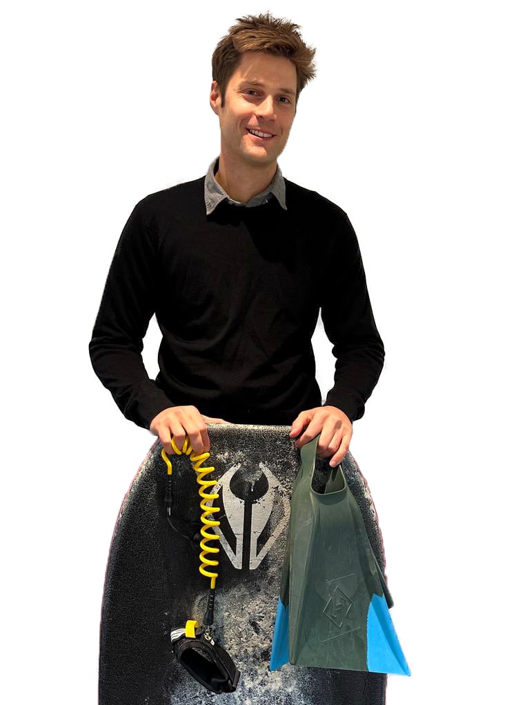
When you aren’t working what do you enjoy…
I am a keen bodyboarder and like taking any opportunity I can to find a nice quiet wave somewhere in the world.

I have a passion for transforming complex spatial data and data management. With my FME expertise and love for cutting-edge technology, I'm always ready to ride the wave of data management challenges and deliver innovative solutions and when I'm not wrangling data, you can find me catching real waves.