.png)
Meet our Utility Network innovations
Tensing

As you have probably noticed, at Tensing we are very excited about the new Esri Utility Network, and confident that it is the no-compromise solution for a future proof utility. In order to be able to deliver even more value to our customers looking to upgrade to the Utility Network, Tensing has been busy developing innovations around the Esri Utility Network.
In this articles we will describe our first two innovations for the Utility Network.
The Utility Network provides location-driven data and asset management for optimal network modeling, editing and analysis. This results in better internal and external collaboration, adequate response to emergencies an efficient organization of inspection, maintenance and repair. But above all, it ensures a reliable, future-proof network.
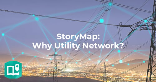
To give you more insight into what the Esri Utility Network is and can do, we've visualized how this innovative platform works and its benefits in a StoryMap. And if you are still in doubt whether the Utility Network fits your needs, we strongly suggest you read our article ‘10 reasons NOT to switch to the Esri Utility Network’.
So yes, we believe in the Utility Network, but we do want to help our customers make the right decisions and get the most out of the Utility Network. For this reason we have been developing innovative tools around the Utility Network.
INNOVATE ACCORDING TO THE FORTH METHOD
To bring innovations to life at Tensing, we follow the FORTH Innovation Method developed by Gijs van Wulfen. FORTH is a proven innovation method to ideate new products, services, processes and business models, which is utilized by industry-leading companies around the world. It is an acronym for: Full steam ahead > Observe and learn > Raise ideas > Test ideas > Homecoming.
After following the FORTH process, we have emerged with two innovations which we are certain will add value to any organization looking to upgrade to the Utility Network. These are the Utility Network Calculator and the Tensing DataBot.
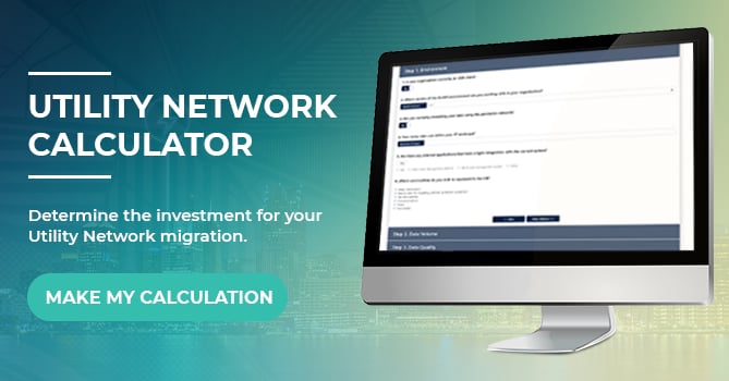
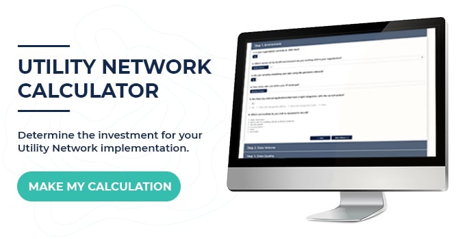
The Utility Network Calculator
The first of our two innovations is a calculation tool oriented at those organizations that are starting to plan their migrations to the ESRI Utility Network. One of the key issues here is trying to determine the budget for the initial phases of the migration project.
Determining the needed investment of a data migration by itself is already a very difficult task, not to mention the fact that every situation is different: every single Utility organization represents a unique case, in the total volume of data they may have, the number of service connections, the complexity of the current data model they are using, etcetera. Add to that the possibilities in extending the Utility Network with additional tables, business logic and rules, and the fact it is part of an Enterprise GIS system which is fully web-enabled, and you get an initial picture of a real-world migration.
Our so-called Utility Network Calculator is designed to assist in this very situation. It is composed of a set of questions specifically designed to allow Tensing to provide a baseline price indication, allowing us to react to the inquiry within 48 hours. Behind the scenes we have some calculations which deliver an estimation for the initial set up of the Utility Network ‘out-of-the-box’ together with a data migration from the existing system to an ArcGIS Enterprise setup.
This calculator is provided free of charge and will allow potential customers to more accurately plan the upgrade to the Utility Network. If that sounds interesting, you can try the Calculator here!
The Tensing DataBot
Tensing has decades of experience in assessing and improving data quality, data modelling, and the management and integration of network-related data. This is particularly relevant for the Utility Network; in order to be able to utilize increasingly powerful business rules which the Utility Network provides, it is important ensure that data quality is at a level required for this logic to function properly, and allow you to gain maximum business value from the upgrade.
We thought it would be an great idea to leverage artificial intelligence to detect and fix errors in existing data. During the FORTH process, this initial idea developed into the Tensing DataBot: an interactive tool that supports the user in identifying and solving data issues before migration to the ESRI Utility Network model.
The DataBot takes the form of an add-in for ArcGIS Pro which allows users to access and edit geometric networks. The DataBot has some great functionality, such as batch-processing automated fixes for errors identified using a configured rule-base. Rules can be added to identify specific cases of errors or quality issues known to exist, relating to both attribute and geometry.
That may all sound complicated, but we have specifically made the interface very easy to use. Much easier than the existing Data Reviewer process implemented in ArcGIS Pro.
If you have questions about the calculator, do you want a demo of the databot or if your organization is considering a move to the Utility Network, then please contact us!