.png)
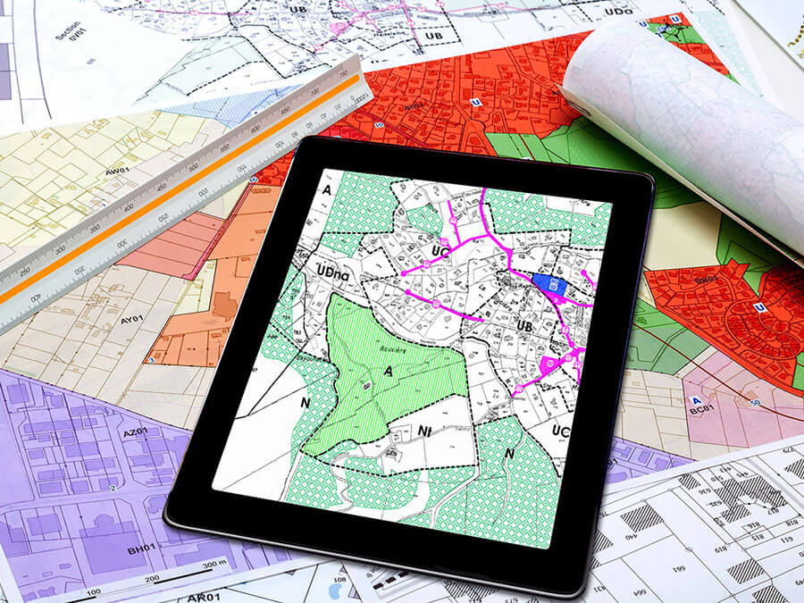
ArcGIS Pro
Need maximum computing power for a complex map with good performance? For that, you need ArcGIS Pro!
ArcGIS Storymaps
Building a visually appealing website with an interactive map for customers, residents or businesses? You can with Storymaps!
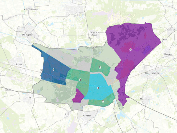
ArcGIS Hub
Informing internal and external stakeholders with a map based on open and closed data? That's what you use ArcGIS Hub for!
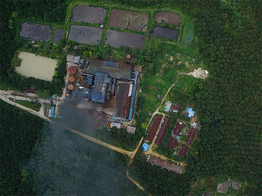
Esri Utility Network
Specially developed for utilities and telecoms: the Esri Utility Network!

ArcGIS Enterprise
Taking complete control of an ArcGIS environment? You can with ArcGIS Enterprise.

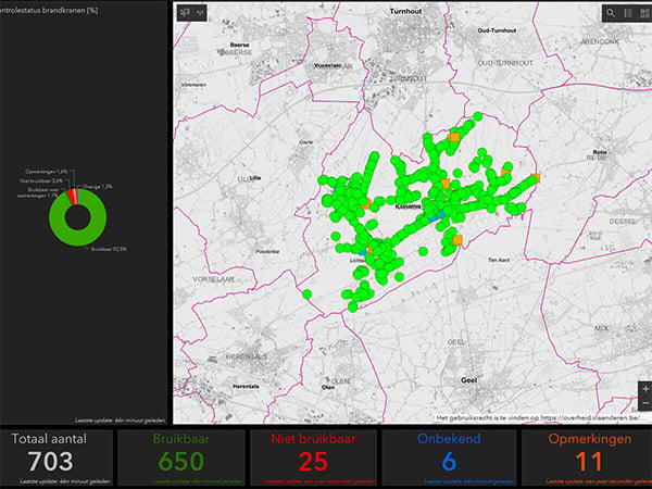
ArcGIS Online
Collaborate intensively with colleagues in GIS projects? Use ArcGIS Online for that!
These organisations are customers of Tensing