.png)
Discover all new possibilities and benefits with geospatial data in Snowflake
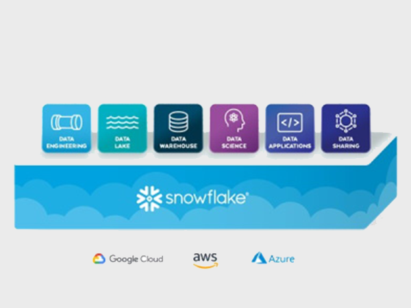
There are several reasons to get into Snowflake. Think about to get rid of data silos, create and easily access your analytics over many datasets. And since recently we added an extra capability: native support for Geography. On this page we tell you more about the possibilities of Snowflake with geospatial data.
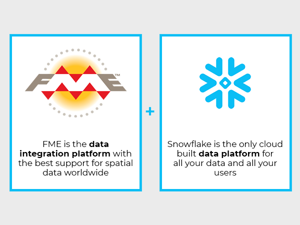
We noticed a demand among companies for more possibilities to add geospatial data to Snowflake. That makes sense when you realize that in these data driven times, about 80 percent of all data contains a geospatial element. That was the reason Tensing integrated FME with Snowflake.
Download: webinar Snowflake Cloud Data Platform
In this video you will get all the background and capabilities of Snowflake. We will take you on a first exploration of this revolutionary platform and show how we link Snowflake to other data platforms such as Esri ArcGIS.
Furthermore, we offer you a presentation about Snowflake.
What is already possible in Snowflake?
Snowflake supports to store location data as Geography in the coordinate system WGS84. This means you can put your location data on a map, like you can do on Google Maps, Apple Maps and OpenStreetMap. But also on a map in your Business Intelligence system, like PowerBI or Tableau. Snowflake provides some spatial functions as well, which is great for high level analytics, but when you want to be more exact it won't do.
To take the geospatial data potential within Snowflake to the next level, we provide four extra capabilities by integrating FME with Snowflake:
- Store data with any coordinate system (local or global) and even with height (z-coordinates). With the spatial-add on Tensing created, you can also store data, like properties, in the local coordinate system in Snowflake;
- Enrich your location data, like addresses, with a location on a map (coordinates). So, creating visualizations of address data, showing new patterns, dashboarding/data-driven decisions;
- Perform spatial analytics in Snowflake by using the capabilities of FME. ? Ie., by clustering and aggregating data on its spatial component you will find areas where many of your client’s life and areas where there are many potential clients;
- Perform measurements. In the spatial area measuring is translated quiet directly. Instead of assuming what the distance is to a nearest shop, you can measure it. Or what is the area of a building footprint? Measure it instead of assuming it, for example the average distance people accept to travel to a shop.