FME
ArcGIS
Labs
Career
Support
Blog
Consultancy
Software
FME Training
Industries
References
About us
Tensing
Career
Support
Blog
Blog
Tensing Blog
FME
ESRI
Safe Software
ETL
Utilities
GIS
Spatial Data Science
data integration
ArcGIS
data science
data transformation
utility network management
Get more value from existing GIS data
GIS,Business Intelligence
Search
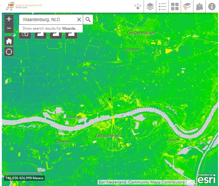
The value of a geographic information system
GIS,geodata
The importance of Spatial Analytics
GIS,Spatial Data Science,geospatial analytics
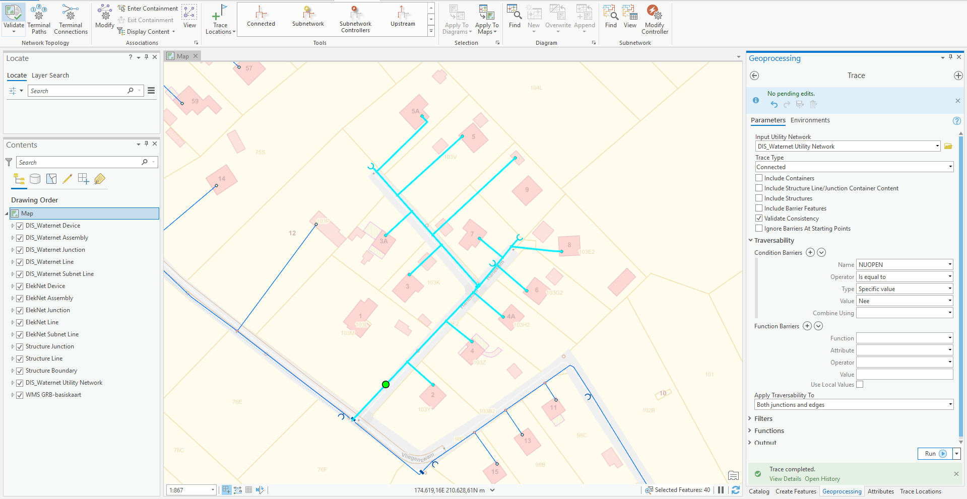
Proof of Concept Esri Utility Network at Pidp...
ArcGIS,GIS,Case Study,unm
Get more value from existing GIS data
GIS,Business Intelligence
The value of a geographic information system
GIS,geodata
The importance of Spatial Analytics
GIS,Spatial Data Science,geospatial analytics
Proof of Concept Esri Utility Network at Pidp...
ArcGIS,GIS,Case Study,unm
How do you start with real-time GIS and IoT?
Innovation,Best practices,GIS,Vision
Utility Network: Is It Time?
ArcGIS,ESRI,ArcGIS Pro,Utilities,GIS
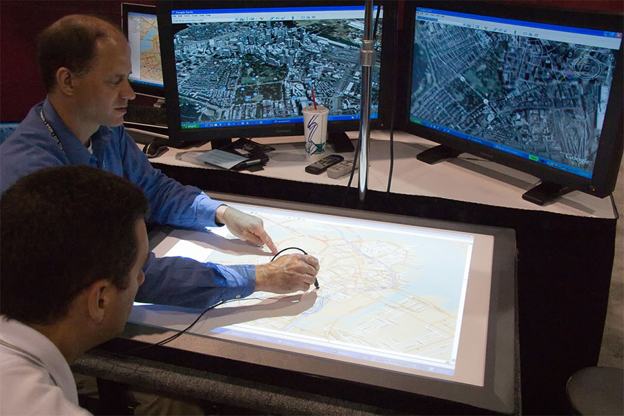
Esri Partner Conference 2017
ArcGIS,ESRI,GIS
All blogs


.png)